v2track 3D Export: Put yourself in the Pilot Seat!
Imagine being able to watch a previously tracked flight in 3D, from the perspective of the pilot!
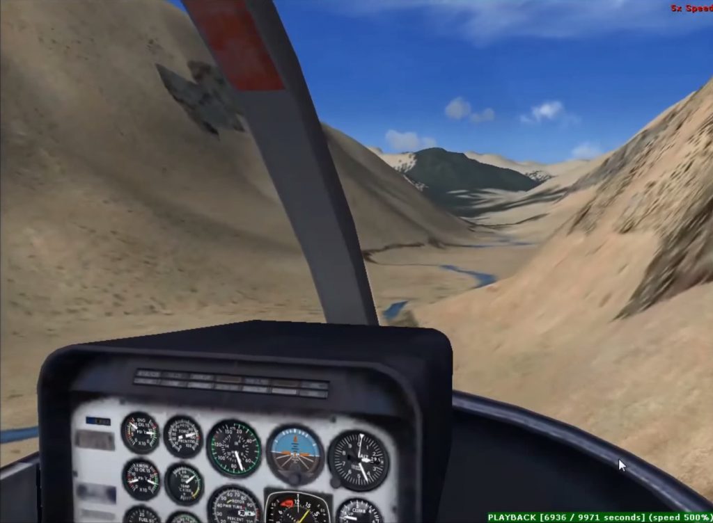
The high rate data coming from a v2track Hybrid Cellular/Satellite unit provides the perfect dataset for our 3D export to Google Earth™ or Microsoft Flight Simulator X. We’ve produced two videos (below) to show you how exported trips can come alive when you export them from v2track to either of these two programmes. The quantity of points to make up the base data just isn’t possible/economical to transmit with many other satellite-only tracking systems on the market!
v2track’s Next Generation Hybrid Sat/Cell technology utilises cost effective and rapid cellular transmissions whenever possible, backed up with the reliability of a satellite data link for complete tracking in every location. While operating in cellular coverage, positioning information is transmitted every 15 seconds (or faster) via cellular data, seamlessly switching to Iridium satellite for 2 minute (or faster) updates when it loses cellular signal. High rate data is stored on the v2track device while outside of cellular coverage and transmitting on satellite. When the device gets back in cellular range it will transmit the stored data so that you always have a complete detailed trip record, no matter where you fly!
The possibilities for such tools are numerous. Our customers are already finding it useful for
- Flight student debriefing
- Route training & visualisation for line pilots
- Pilot performance monitoring
- Safety investigation.
- Personal Interest
Contact us today to see how v2track can enhance the way your company operates!
v2track Trip Export to Microsoft Flight Simulator X https://youtu.be/-rRcsiZ93vg
For more information on Microsoft Flight Simulator X, please click here
This video was created under Microsoft’s “Game Content Usage Rules” using assets from Microsoft Flight Simulator X, © Microsoft Corporation
v2track Trip Export to Google Earth™ https://youtu.be/GfRtRtaL1ZM
For more information on Google Earth™, please click here
© 2012 Google Inc. All rights reserved. Google Earth™ is a trademark of Google Inc.
Google and the Google logo are registered trademarks of Google Inc., used with permission.